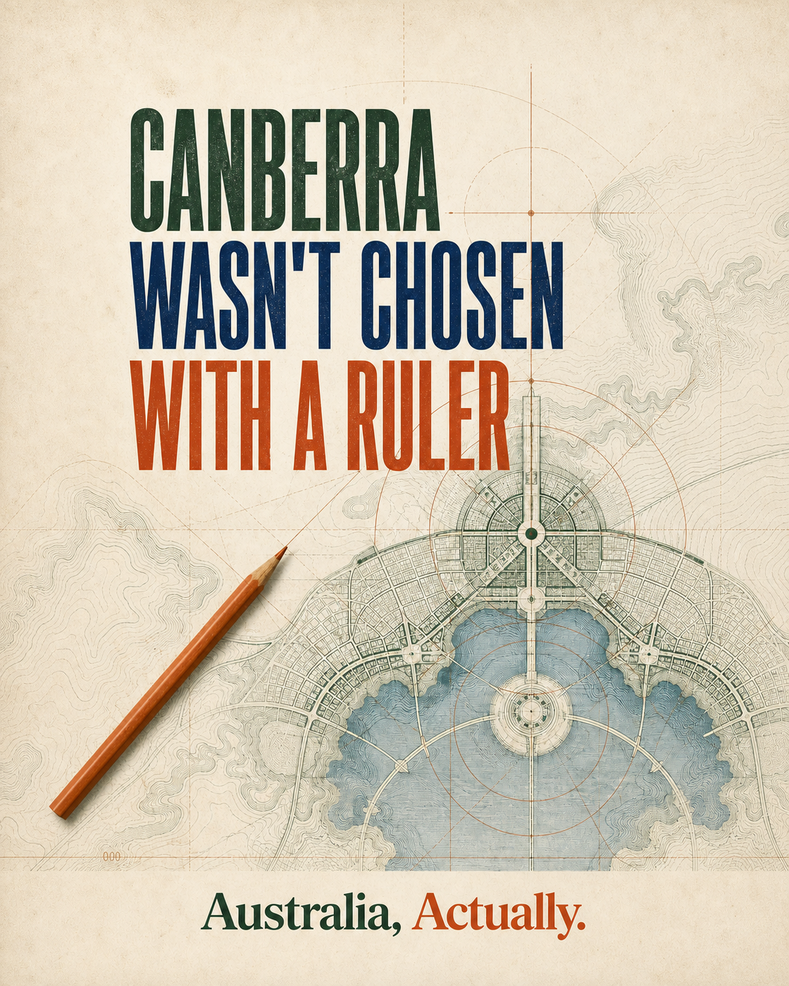
Canberra is a compromise capital, but not a pin dropped at the midpoint of two jealous cities. The actual story is slower, stranger and more deliberate.
The bargain came first
Before Federation, delegates could not settle the location of the national capital. Section 125 of the Constitution carried the compromise forward. The seat of government had to be in New South Wales, but at least 100 miles, now usually expressed as 160 kilometres, from Sydney.
That rule recognised New South Wales while preventing Sydney from simply becoming the federal capital. Melbourne served as the temporary seat of Parliament until the new capital was ready.
There was a real site contest
The Parliamentary Education Office says more than 60 sites were considered. Towns and districts promoted their climate, water, access and scenery to visiting politicians. This was not a search for a mathematical midpoint. It was a national capital contest shaped by the constitutional boundary.
Parliament selected Dalgety in the Snowy Mountains in 1904, but New South Wales objected. The dispute continued. After seven years of debate, Parliament chose the Yass Canberra district through the Seat of Government Act 1908.
Why this district?
The National Capital Authority records three qualities cited in the 1908 choice: a bracing climate, a good water supply and natural beauty. Surveyor Charles Scrivener then examined possible sites and water catchments within the district.
Scrivener recommended the Canberra valley. Its sheltered amphitheatre of hills offered a setting for a capital, while the Molonglo River created opportunities for ornamental water. Those landforms would later become central to the city's design.
Choosing the site did not design the city
An international competition followed. More than 130 architects and town planners submitted designs. In May 1912, Walter Burley Griffin's entry was announced as the winner.
Marion Mahony Griffin worked with Walter on the design and produced the vivid presentation drawings that showed a city nested into its hills and valleys. The winning plan used a central lake, major vistas and a triangular national area. Canberra's familiar geometry came from a design response to the landscape, not from its position between two state capitals.
The rivalry explains the constitutional limits. It does not, by itself, explain the final site or the city that was planned there.
The conclusion
Sydney and Melbourne were part of the political origin story. The Constitution guaranteed a New South Wales location outside Sydney, and Melbourne remained the temporary capital. Canberra itself was selected after years of competing proposals and practical assessment. Its form came later through the work of surveyors, planners and Walter and Marion Griffin.
So the simple story is not completely false. It is incomplete in exactly the place where Australian history becomes interesting.
- Parliamentary Education Office: Seat of Government Act 1908, Section 125, the site contest and the 1908 decision.
- National Capital Authority: Lake Burley Griffin, The site qualities, Scrivener survey and water plan.
- National Capital Authority: Walter Burley Griffin, The 1912 competition and Marion Mahony Griffin's contribution.
Source links checked 1 August 2026. Found a problem? See our correction process.