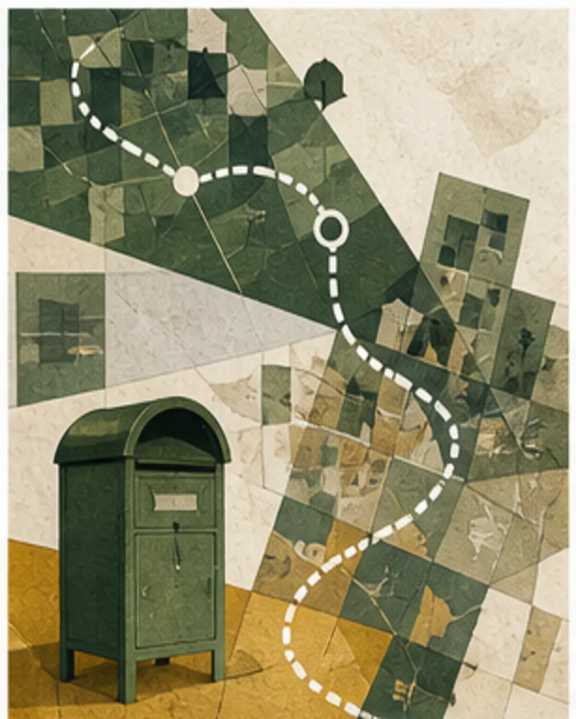
Australia's four digit postcodes route mail, but the neat shapes used in maps are statistical approximations rather than official postcode borders.
The useful fiction on a map
A postcode looks like a place because websites colour it as a closed shape. Australia Post created the four digit code for delivering mail, however, not for defining a legal district. Routes, delivery points and operational needs can change without producing a publicly gazetted border. The Australian Bureau of Statistics therefore warns that postcodes are not designed for collecting or analysing statistics. A map labelled by postcode is useful, but it is already an interpretation.
What the ABS actually maps
The ABS publishes Postal Areas, usually shortened to POAs. It builds them from Mesh Blocks, the smallest pieces in the Australian Statistical Geography Standard. Each Mesh Block is assigned to the postcode that best represents addresses inside it. The result is a generalised spatial approximation that lets census and other statistics be tabulated. It is not an authoritative boundary supplied by Australia Post, and it can differ from how individual addresses are routed.

Why one postcode can feel like several places
A delivery code can cover several suburbs, rural localities or special destinations. Large organisations may have their own code, while some addresses use a nearby delivery office. The familiar relationship between the first digit and a state is a strong pattern, not a promise that every code describes one socially coherent neighbourhood. That is why postcode level comparisons can hide very different communities, housing types and travel distances inside the same four digits.
Addresses need more than four digits
Australia Post's addressing guidance asks senders to include the recipient, street address or post office box, locality, state abbreviation and postcode. The locality and state help distinguish repeated street names and repeated suburb names. The postcode improves sorting, but it does not replace the rest of the address. A correct code attached to the wrong locality can still send a parcel into a correction process rather than directly to its destination.
The statistical trap
Analysts often join records by postcode because it is common and easy. That can create false precision. A Postal Area is an ABS approximation for statistical use, while a customer database contains delivery codes attached to individual addresses. The two are related but not identical objects. Results near an edge, for sparse rural areas or for changing developments need particular care. The honest label is often postcode based estimate, not postcode boundary fact.
The practical takeaway
Use the four digits for what they were made to do: help route an address. Use official locality boundaries for gazetted suburb questions and the current ASGS geography for statistical comparisons. When a map says postcode boundary, check whether it means an ABS Postal Area and which ASGS edition it uses. That small check explains why two reputable maps can disagree without either one necessarily being careless.
- ABS ASGS Edition 4 methodology, Checked 14 August 2026 for Why an Australian postcode is not really a boundary.
- Australia Post addressing guidelines, Checked 14 August 2026 for Why an Australian postcode is not really a boundary.
Australia, Actually checked the linked records on 14 August 2026. Claims are limited to what those records establish. Google Trends figures, where used, are rounded attention signals rather than audience totals. Found a problem? See our correction process.