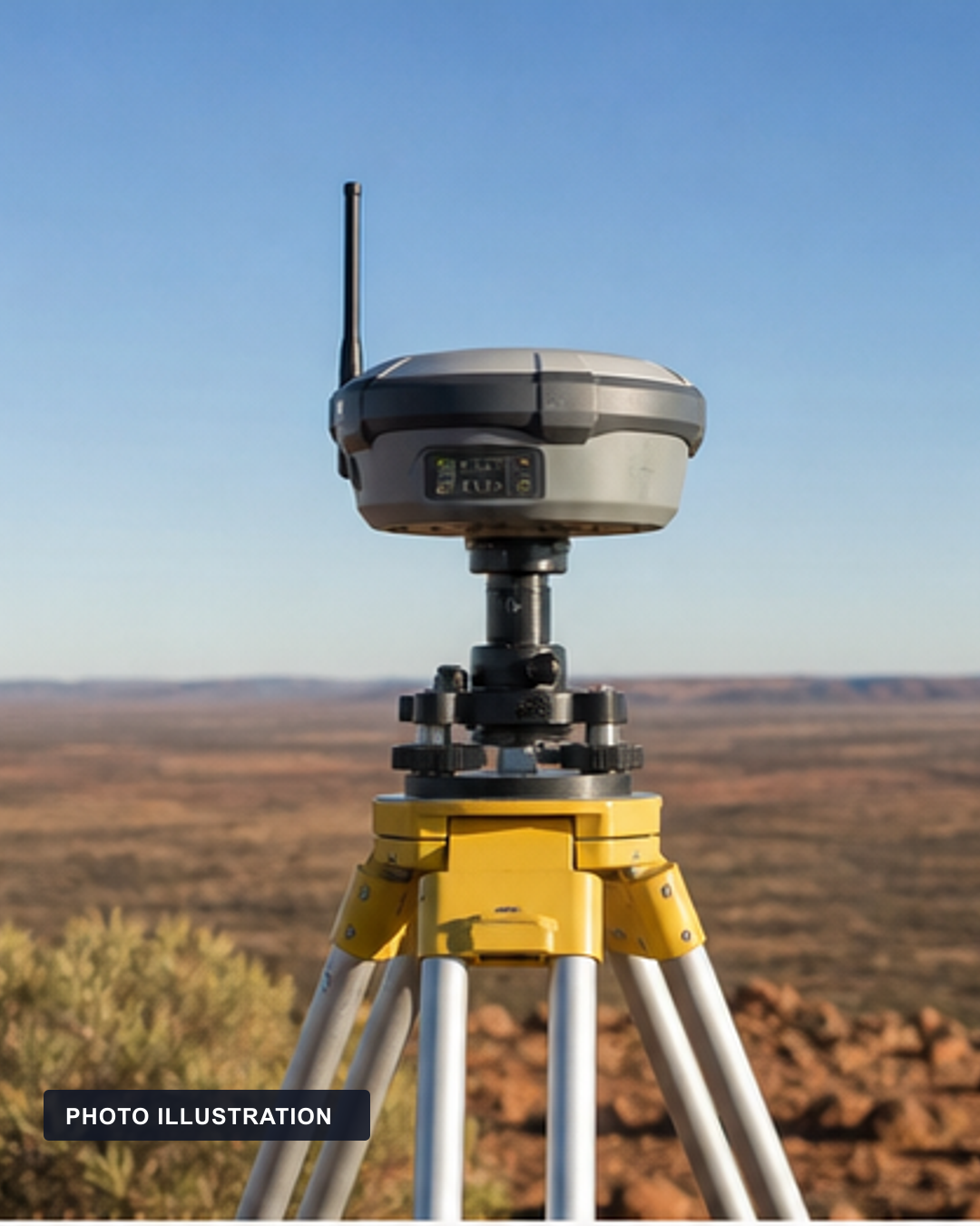
A latitude and longitude can look permanent. At centimetre accuracy, it also needs a reference frame and a date.
A coordinate is more than two numbers
Latitude and longitude are often treated as timeless labels for a fixed place. They are only meaningful when the reference system behind them is known. Surveyors, engineers, spatial-data custodians and other centimetre-level users need the same ground mark to resolve to the same position when their data is compared. That requires a datum: a defined way of relating Australian positions to the shape of Earth and to a reference frame used by satellite positioning.
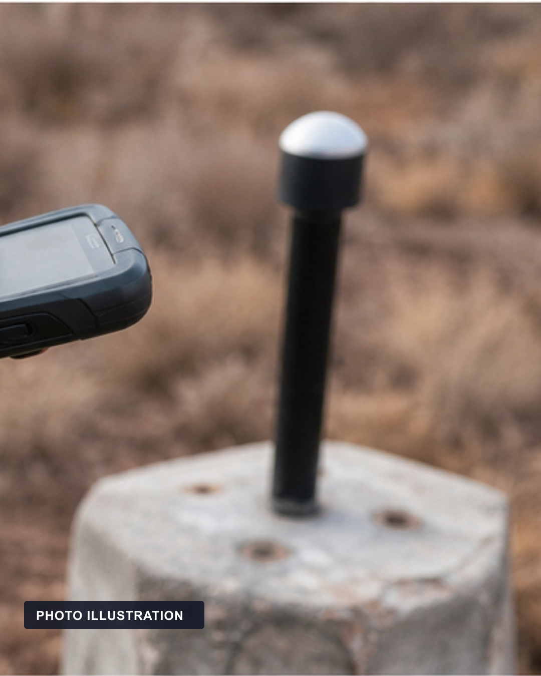
Why GDA94 drifted away
Geoscience Australia says GDA94 was based on ITRF1992 at epoch 1994.0. Australia did not remain fixed relative to that global frame. The Australian plate has moved by about seven centimetres a year, so the older coordinates increasingly diverged from global satellite-reference coordinates. By 2020, Geoscience Australia described that difference as about 1.8 metres. That is an approximate national-scale statement, not a promise that every point or every device has one identical offset.
What GDA2020 fixes, and what it does not
GDA2020 is based on ITRF2014 at epoch 2020.0, meaning 1 January 2020. It better aligns Australia's national datum with the global frame used by modern GNSS. The update is not only plate motion. Geoscience Australia also points to improved global-frame realisations, local crustal deformation and a change in ellipsoidal heights. Ellipsoidal height is a geodetic measure, not the everyday height above sea level shown on a hiking map.

Why the date matters
A static datum records positions at a named epoch. A time-dependent frame can add a site velocity and propagate a coordinate through time. That distinction matters when a position is precise enough that continental motion becomes operationally visible. It matters far less when a consumer application is already less accurate than the change, or transforms the coordinates behind the scenes. The package does not test individual phones, navigation apps or state implementation rules.
Australia did not jump on the map. The reference system had to say which moment of a moving continent it meant.
The useful correction is therefore not that maps are unreliable. It is that accuracy has a context. GDA2020 gives Australia a newer, globally aligned reference date and frame. For high-accuracy work, reporting a coordinate without its reference frame and epoch can leave out the information that explains why two technically correct positions no longer line up. Before any practical surveying or legal-boundary decision, the current jurisdictional requirements and data metadata still need to be checked.
- Geoscience Australia: Geocentric Datum of Australia 2020 (GDA2020), Updated 14 December 2017. GDA2020's ITRF2014 alignment, epoch 2020.0, approximate plate-motion divergence and qualification.
- Federal Register of Legislation: National Measurement (Recognized-Value Standard of Measurement of Position) Determination 2026, Registered 12 March 2026. Current recognized-value legal anchor for GDA2020, ITRF2014 and epoch definitions.
Primary or strongest authoritative sources rechecked at 2026-08-09T00:02:47+10:00; recheck all current sources immediately before any authorised release. Found a problem? See our correction process.